By Amanda Kistler, Communications Manager
On Thursday, January 12th, 2012 CIEL scientist Matt Finer presented as part of Amazon Watch’s GreenBag Lunch series with this auspicious title, riffing off Stephen Colbert’s rhetorical question he poses to anyone that might not agree with his hyperbolic categorization. However, even Colbert would find few, if any, who would call the region of Loreto, Peru, anything but great.
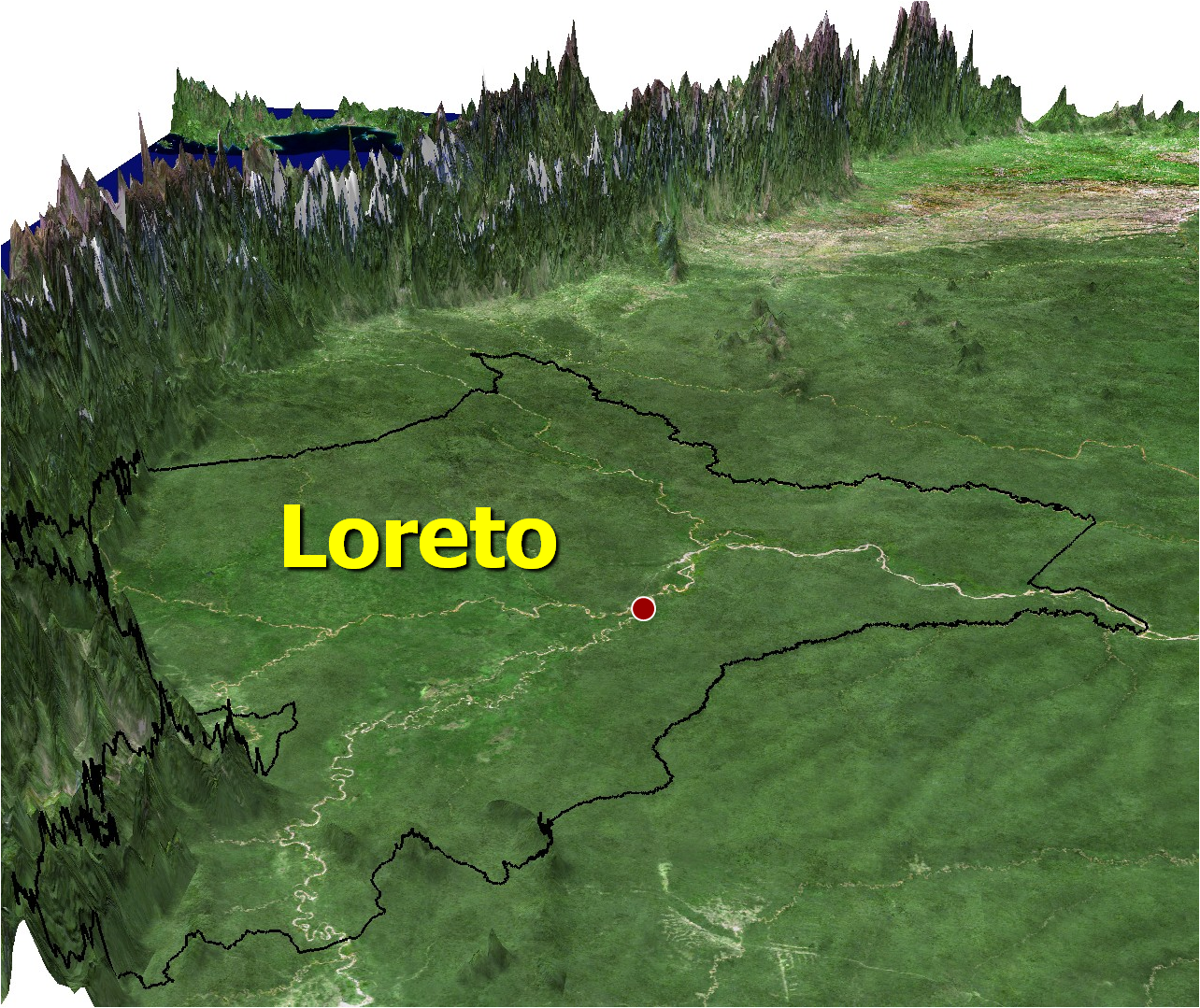
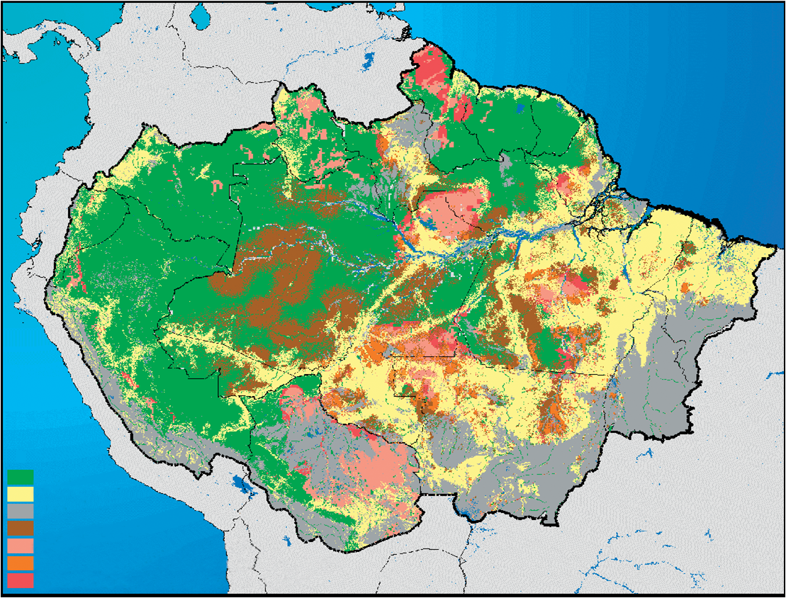
According to Matt, Loreto is a huge land area but not unmanageable. It is primarily flat except for the western areas that are the last bit of lowland forest before the Andes Mountains. Endemic species, or species that cannot be found anywhere else, live in these elevation gradients. Loreto is also home to the start of the Amazon River.
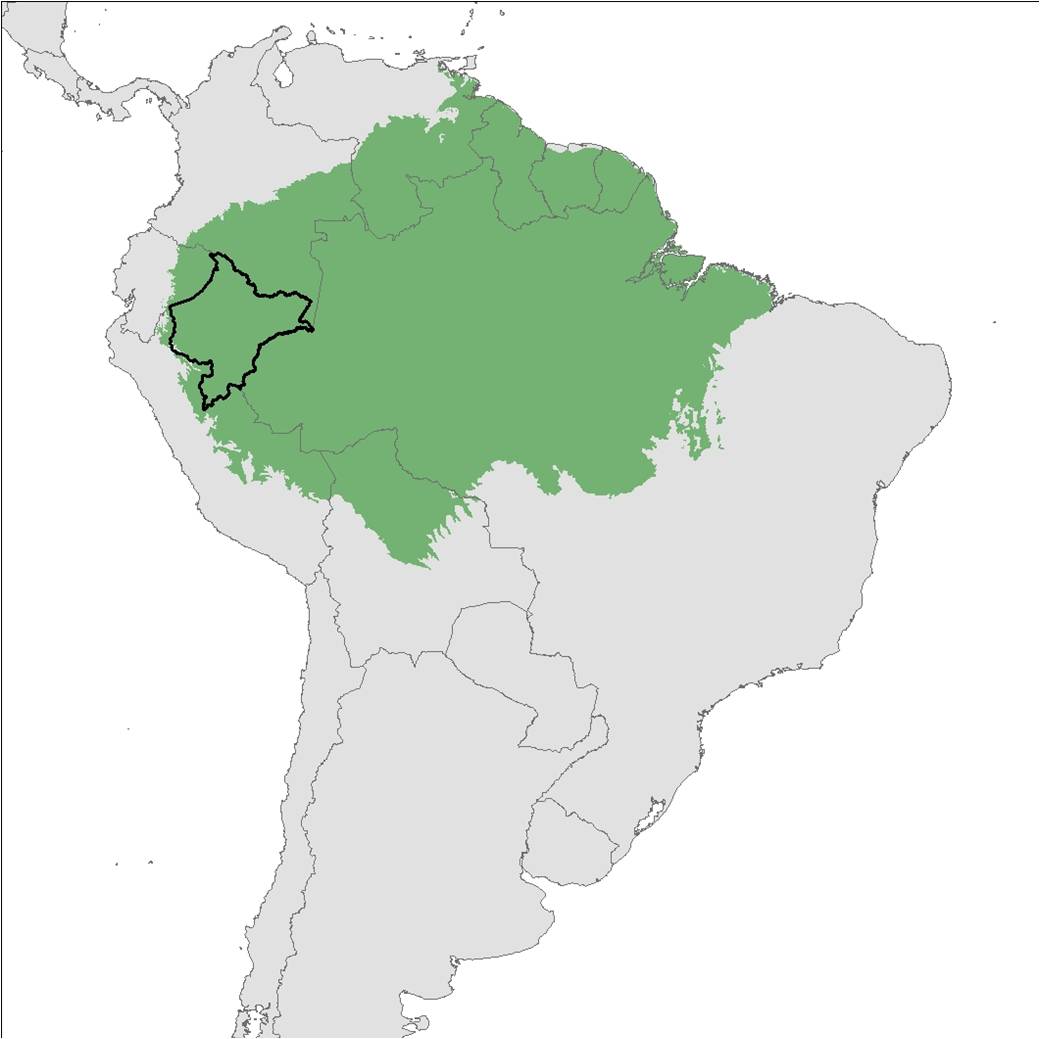
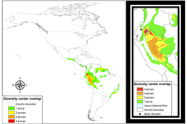
Loreto is located in an extremely rare quadruple richness center – where mammals, amphibians, birds and plants all reach peak biodiversity in the same place.
Loreto is also home to one of the most intact forests in the world, due in large part to the fact that to date there are no major roads that cut across large swaths of forests. These cross-cutting roads inevitably are accompanied by massive deforestation.
Loreto has also been identified as a refugia (area where climate change or its effects will be less pronounced) for moderate projected climate change impacts.
According to Matt, between its incredible biodiversity, its refugia for moderate climate change impacts, and its vast intact forest as yet not greatly affected by deforestation, Loreto is “the Northwest Amazon Trifecta.” (That phrase is coined by Matt; you heard it here first!)
But Loreto faces a number of development challenges in its near-, medium- and long-term future. It will be critical to analyze how these plans not only have project-specific impacts on the environment and ecosystems, but also how these plans – in combination – will have interacting impacts on Loreto’s Great Rainforest (or Greatest Rainforest?!).
In the coming months, CIEL, with Peruvian partner DAR, will be analyzing the various development projects planned for Loreto with particular focus on the synergistic impacts of projects on biodiversity. This project is funded by the Gordon and Betty Moore Foundation.
1. Bass et al. (2010) Global Conservation Significance of Ecuador’s Yasuní National Park. PLoS ONE 5(1): e8767.
2. Nepstad et al. (2008) Interactions among Amazon land use, forests and climate: prospects for a near-term forest tipping point. Phil. Trans. R. Soc. B. 363: 1737-1746.
Originally posted on February 22, 2012.